Village-level Spatial Information using GIS technique
The Foundation has recently initiated a research project titled “Village-level Spatial Information using GIS technique: Palakurichi, Nagapattinam district, Tamil Nadu.” The project started as part of a collaborative study with Yoshifumi Ikejima, Associate Professor at the Department of Economics, Yokohama National University, Japan. Tapas Singh Modak, Associate Fellow at the Foundation, is coordinating the different activities under this project.
The project is exploratory in nature. It aims to look at the potential use of the digitised village maps, with the aid of GIS technology, in studying land use patterns, cropping pattern, and other socio-economic characteristics in rural India. The Palakurichi village in Nagapattinam district, Tamil Nadu, is being studied under this project. The village was surveyed in May–June 2019 by the Foundation as part of its project “Agrarian Relations in the Lower Cauvery Delta.”

The Foundation through its India-wide programme of village studies has prepared a vast archive of primary data on socio-economic characteristics in village India. This project will also explore the possibility of integrating the data archive of the FAS with digitised village maps.
We also want to explore the possibility of collaboration in this subject area, and invite interested scholars to write to Tapas (tapas[at]fas[dot]org[dot]in) in this regard.

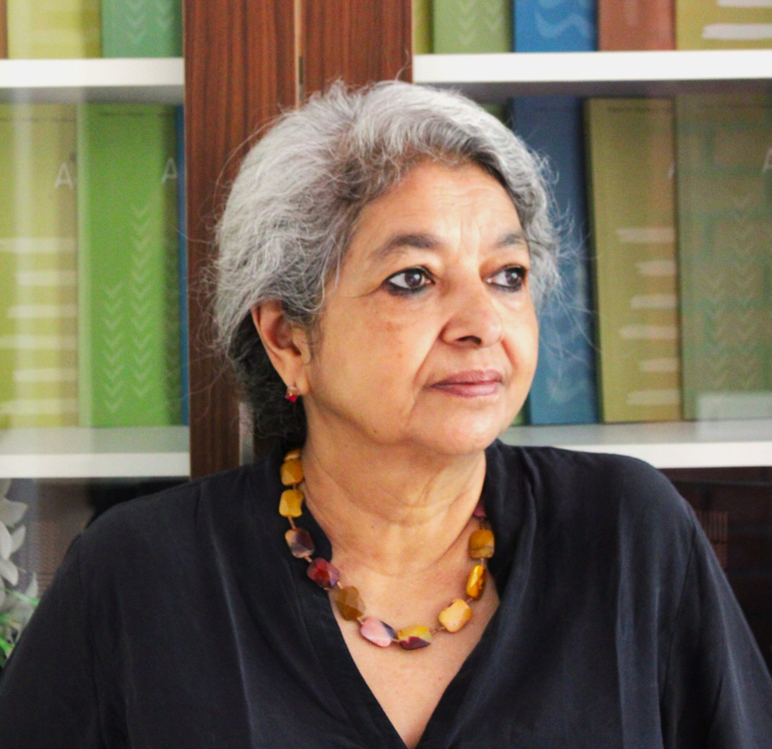


 Sudha is an Administrative Assistant of the Foundation. She assists the administrative division of the Foundation and also has taken part in fieldwork organised by the Foundation.